


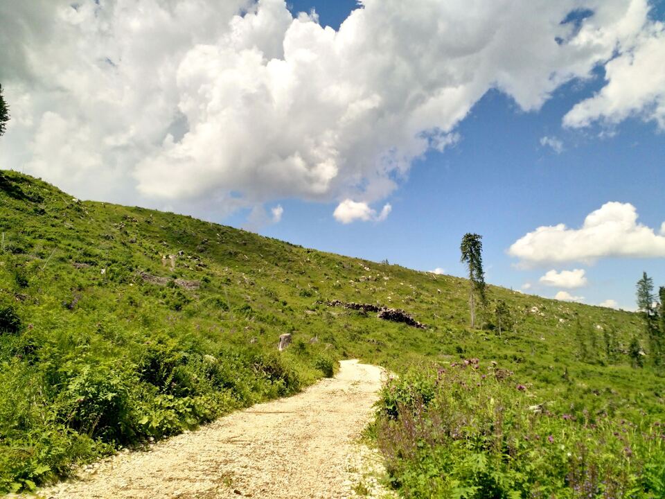
Bolzano – Storm Vaia has impressively shown how severe climate change can jeopardize the survival of alpine forests. Its flexibility can also be supported by high-resolution technologies, such as LIDAR. The Faculty of Natural Sciences and Technology, together with the Department of Forestry and the Landesdomäne Agency in the Autonomous County of Bozen, have started a project to record tree numbers in the Latemar region, which accompanies the development of the ten-year plan for forest management.
Every ten years, public bodies (provinces and autonomous regions) are required to develop a tool for managing their forest heritage, the so-called “forest management plan”. This official document describes how forests can be maintained healthy and provides information about the number and diversity of plants in a forest, how many trees can be cut down and when to do so in order to maintain ecosystem functions. The Forestry Department of the Autonomous County of Bozen is developing a new concept of forest management in cooperation with the Faculty of Science and Technology.
The project, initiated by Professor Giustino Tonon (who died tragically on July 7 last year) and completed by researcher and lecturer Enrico Tomellieri, in collaboration with the Forest Department and the Landesdomäne Agency of the Autonomous Province of Bolzano, is methodological and also innovative in terms of content. On the one hand, LIDAR technology is used, which allows high-resolution 3D reconstruction of forests with a high resolution of the actual tree density, on the other hand, the Latimar region, which was devastated by storm Faya in October 2018, is used as a case study.
“By observing what is happening in Val Déja, we have the opportunity to understand the catastrophic effects of climate change on forests, thus contributing not only to standard planning, but to ensuring comprehensive planning that takes into account the likelihood of extreme events that may occur.” The likelihood of them occurring increases. In the coming years”, emphasizes Tomelieri. The classic method of preparing the forest management plan assumes that the respective forest plots are considered to be uniform in density and existing species. On the other hand, the innovation of the project by unibz and the county is the use of LIDAR technology: the affected forest areas are moved and scanned by laser This technology allows the height of treetops to be measured and the forest structure to be reconstructed in 3D on a computer. “Measurements on the ground, such as tree diameters, are not completely replaced in this way, but are supplemented,” Tomelleri explains. In this way, more maps can be created Detailing the forest and information can be obtained for accurate forest management.unibz researchers and staff of the Bozen Autonomous County have created wood volume maps and a structural classification of the state’s forest on Latemar, Which combines data collected on the site with data obtained from LIDAR technology.
The results of the surveys and the processing of the collected data are forest maps with a ground resolution of a few hundred square metres, and are therefore more detailed than traditionally available maps. “LIDAR applications allow information to be collected at finer scales than in the past and provide valuable indicators of the diversity of forest characteristics (biodiversity and protection from natural hazards). With the help of LIDAR technology, it is possible to distinguish the horizontal and vertical structure of the canopy and monitor its development over time. The availability of detailed maps of these organisms It is the basis for micromanagement decisions,” Tomelleri adds.
Storm Vaia caused an estimated damage of 1,492,060 m3 of felled trees compared to an average annual reforestation of 660,000 m3 (see Forest Department 6th report on Storm Vaia). Existing data and lidar data collected in 2011 as part of an earlier project were used to characterize the stand before wind drag. A subsequent campaign dedicated to collecting data was conducted in 2020 and made it possible to monitor the population situation after the storm. “Using machine learning methods, we generated volume and structure maps from the above data. The researcher concluded that the maps before (2011) and after Vaia (2020) were then used to plan agroforestry interventions and can support accurate management decisions to make the Latemar forest “future-fit” .
From: mk

“Certified tv guru. Reader. Professional writer. Avid introvert. Extreme pop culture buff.”
More Stories
Open day and career day on May 3: specialized lectures on renewable energies and electric mobility, modern innovative solutions in automation technology and much more.
Chassis and transmission of the G 580 with EQ
OpenAI modernizes enterprise applications | OnlineMarketing.de